Spanish Loop
This is a favorite among loops on the Finger Lakes Trail and it’s easy to see why. This loop offers a scenic forest setting with the chance to visit many different types of forests. The super-short trails near Daisy Hollow Road, such as the English and Irvin Trails, also give this loop character and it stands out from other hikes in the region.
Map of the Spanish Loop
You can navigate on this route with the downloadable AllTrails map, linked here.
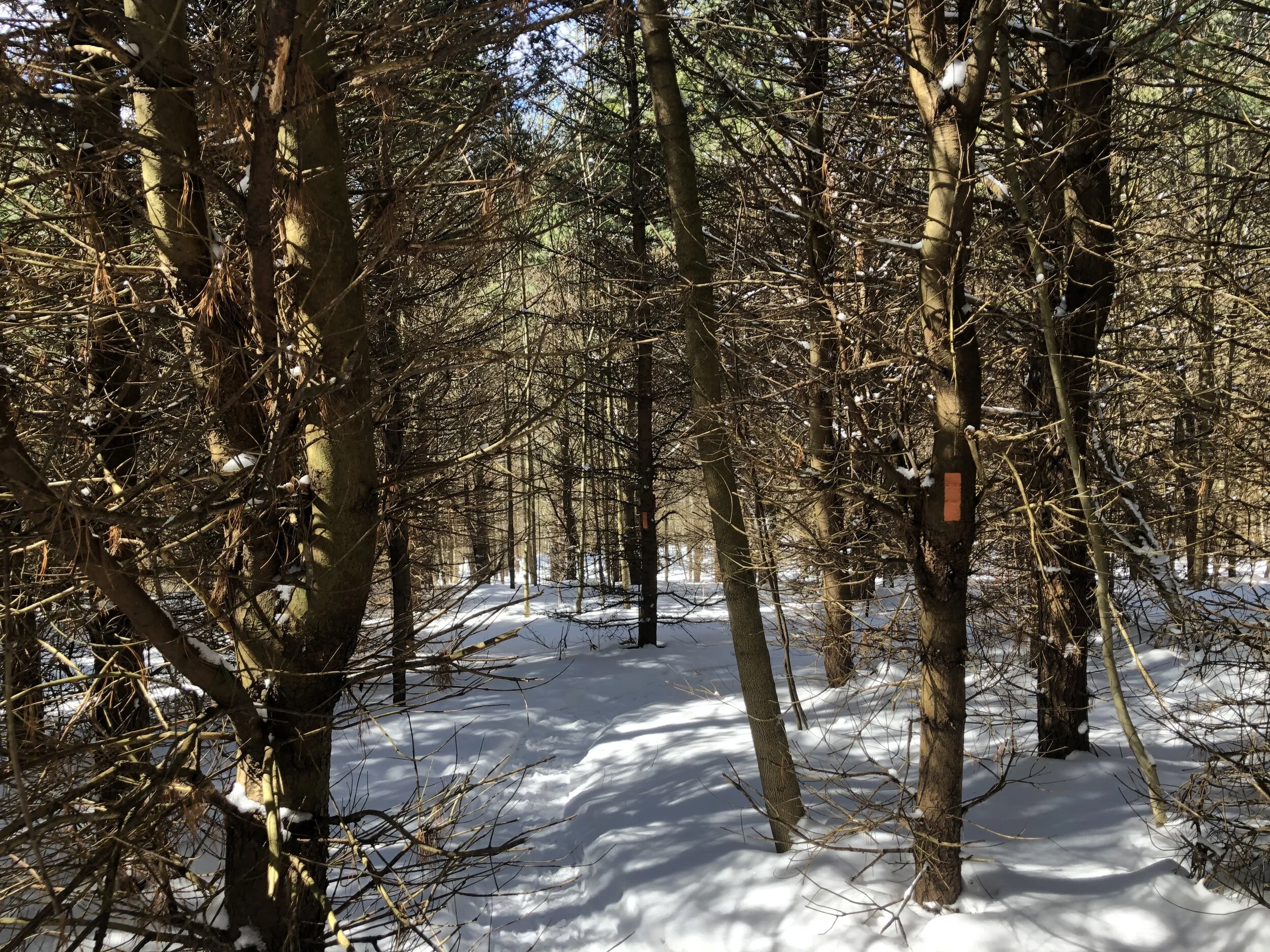
The trailhead for this loop is the southern FLT parking area on Daisy Hollow Road, where the trail leaves the road to the west. The GPS coordinates are 42.46316, -76.23252. From this parking area (1395’), follow the Finger Lakes Trail/North Country Trail west. Just before the trail crosses the creek, the orange-blazed Spanish Loop Trail enters from the left. Turn left and follow the orange blazes.
Shortly after this junction, the Spanish Loop Trail crosses Daisy Hollow Road again. Pick up the trail on the other side of the road and follow it uphill. After this short climb, the red-blazed English Loop Trail is on the right. This is the first of many shorter loops that intersect the Spanish Loop for the first 1.5 miles. Keep following the orange blazes and be careful not to accidentally take a different trail.

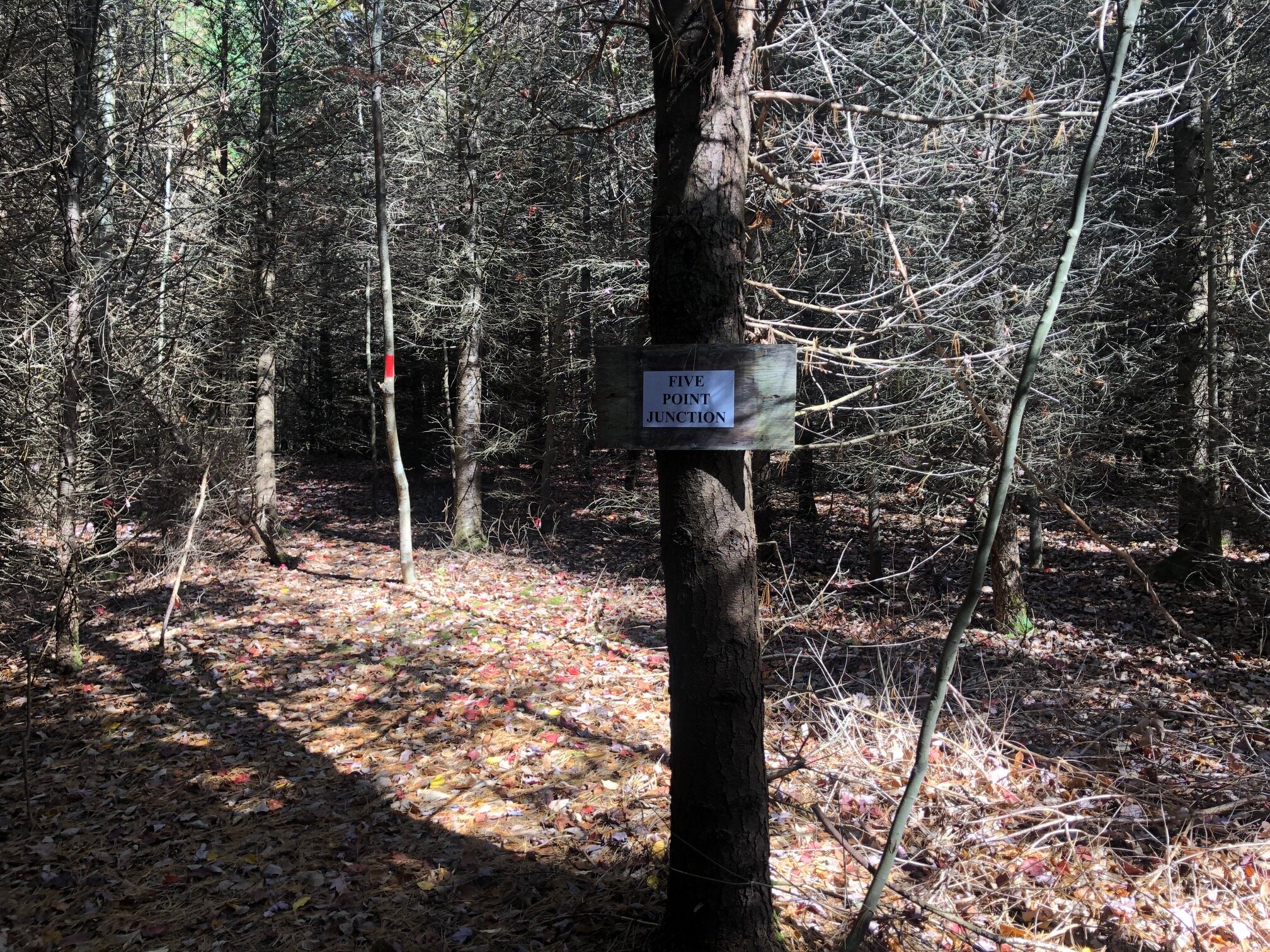
After the junction with the English Loop, the trail runs parallel to the road for a bit, then turns away, heading uphill. It passes through an interesting forest of Norway Spruce. At 0.25 miles from the trailhead, the trail reaches the “Five Point Junction,” where the Spanish, English, and Eric’s Path trails intersect. The trail continues straight ahead.
The trail starts to climb a bit more steeply from here, but switchbacks aid hikers. More side trails intersect the main trail and there is a trail register at the intersection with the blue-blazed Irvin Trail, 0.5 miles in. Eventually, the Spanish Loop Trail reaches another junction with both the Irvin Trail and English Loop Trail after crossing under power lines. The orange blazes can be a bit hard to find here, but the trail heads to the right, generally parallel to the power lines.
From here, it’s not as steep. The trail intersects with the English Loop three more times and crosses under the power lines again. At 1.5 miles, the trail arrives at Adams Road (1760’). There is a sign notifying hikers that the next 0.2 miles of road walking aren’t marked with orange blazes. To continue the loop, turn left onto Adams Road. 0.2 miles later, it comes to a T-intersection with Owego Hill Road. Turn left here and follow the road into the woods, as it changes from paved to dirt. The blazes also resume at this point. After another 0.2 miles from the T-intersection, the trail turns right off the road, marked with a double blaze. The trail now descends and crosses a brook. It then follows the brook upstream. There is a mossy cascade after the brook crossing called “Mercedes Springs” and is a nice spot for a break.
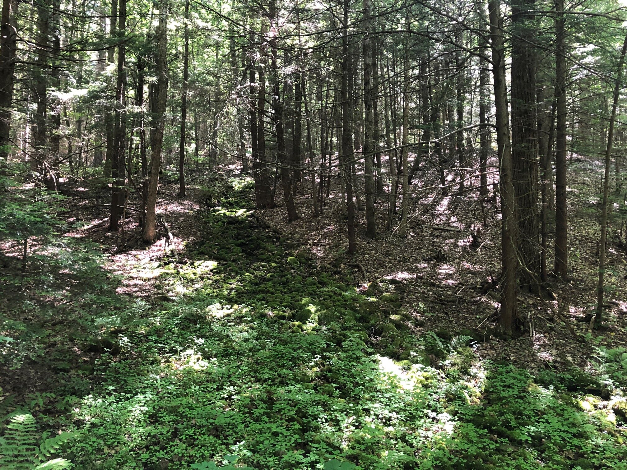
Mercedes Springs
The trail climbs away from the brook, passing through a nice pine forest. At 2.5 miles, it crosses dirt Liddington Hill Road. The climb ceases after this point and the trail soon crosses under another set of power lines, where there are nice views to the east. Heading north, it passes through a mixed forest which is particularly nice during the fall. At 3.4 miles, the Spanish Loop Trail reaches its eastern terminus at the Finger Lakes Trail/North Country Trail. Turn left here and follow the white blazes.

The FLT/NCT climbs to the top of Owego Hill, the high point for this loop (2030’). It then descends from this point, crossing Owego Hill Road again at 3.7 miles. After descending more, the trail enters a gorgeous coniferous forest. The yellow-blazed Stockholm Short-Cut trail enters from the right at 4.2 miles (1690’). This short trail connects to the Swedish Loop Trail, another great hike in Kennedy State Forest. The FLT follows Rowland Creek downstream from here. 0.2 miles later, the Two Creek Campsite is on the left of the trail before it crosses the creek.
After the creek crossing, the FLT/NCT comes to a junction with the blue-blazed Swedish Loop Trail. This trail loops back around to the FLT farther east and can be combined with the Spanish Loop for a 7+ mile hike. Continue following the main FLT/NCT for 0.9 miles, mostly heading parallel to the creek. At 5.5 miles, the trail reaches the northern parking area on Daisy Hollow Road. Turn left and follow the paved road for 0.6 miles back to the southern parking lot to complete the loop. Total distance for this hike: 6.1 miles with 865 feet of elevation gain.