About this site
This website is designed to promote the lesser known trails of Central New York, a region that is often overlooked when it comes to planning outdoor adventures.
Trail users in New York State often look to places such as the Adirondacks, Catskills, and Hudson Highlands region when searching for hikes. Even when people visit Central NY, they often flock to the state park gorges that dominate every other hiking spot in the region when it comes to user traffic. While these places certainly are scenic and boast excellent networks of trails, there are other places that are just as nice, but come with the added feature of fewer crowds. Consider what makes for a nice trail: views, bodies of water, accessibility, exciting climbs, etc. The less-traveled trails on this site offer just that. The organization of this website makes it easy to find underrated hikes based on geographic location, difficulty, length, and unique features. Here’s a quick guide on how to use the site.
From the home page, you can access pages including Regional Hike Listings and the Interactive Map. These pages are a great place to start in terms of finding hikes in terms of location. The Regional Hike Listings contain links to pages for all seven counties represented in the region. Once there, you can click one of the buttons to navigate to each county’s page of hikes.

Each county’s page contains all of the hiking routes within the county. It is designed similarly to the regional listings page and you can click on the link for a specific hike, which will take you to the information and guide for that particular hike.

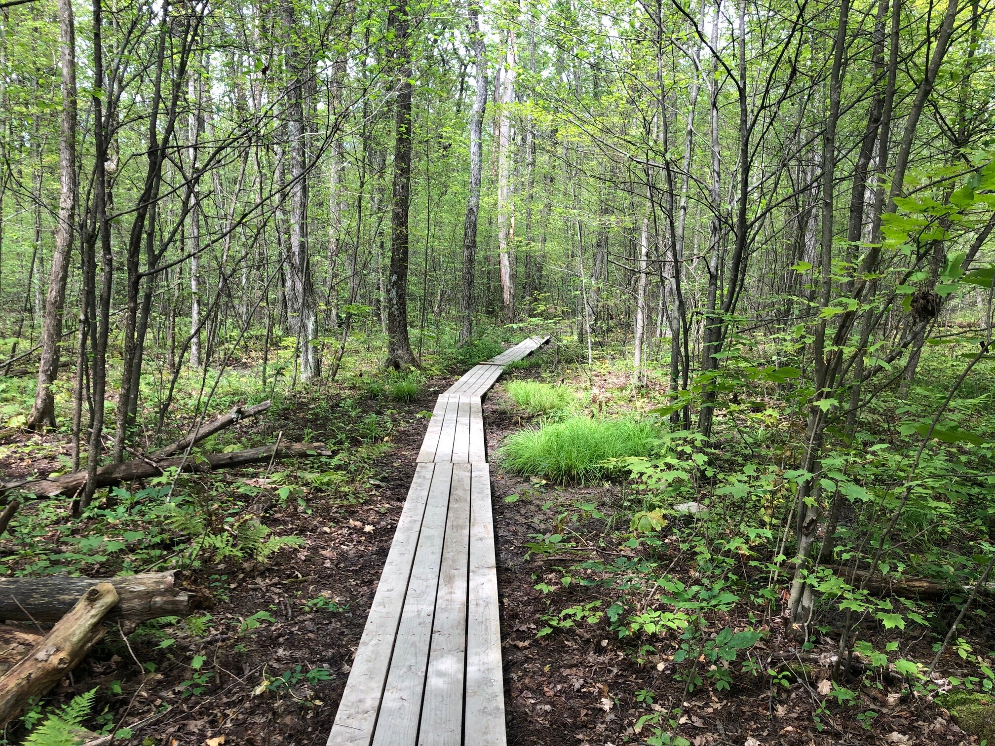
Every hike’s page contains general information about what to expect, an interactive map of the trail, and step-by-step instructions for completing the hike. There are images and mileage points as reference.


Another way to find the pages for each hike is through the Interactive Map. This shows the GPX tracks of all of the trails on a Google Terrain map layer. On each track, there is a pin which you can click. It provides the distance, difficulty, and a link to the page for that specific hike.
