
Mount Roderick Loop
This loop offers vast forest, sweeping heights, and views of the rolling hills and fields that characterize this region. All of this can be experienced through a easy to moderate hike with very gentle climbs. This hike is on the isolated eastern side of Cortland County which is far from most big towns in Central NY, but this section of the Finger Lakes Trail never gets crowded because of that.
Map of the Mount Roderick Loop
You can navigate on this route with the AllTrails map, linked here.
The GPS coordinates for the trailhead are 42.60062, -75.98967. This is a pull-off parking lot on County Rd 159/Telephone Road, 1.5 miles east of Route 41 in the hamlet of Solon. (Note that this is a snowplow turnaround in winter) From the trailhead (1495’), briefly follow the road east until you see an Finger Lakes Trail sign on the left side of the road. Turn left and follow the white blazes.

The trail follows a stream for the first portion of this hike. At 0.5 miles, the trail turns away from the stream and ascends to the dirt Cortland Two Road. Cross the road and continue to follow the white blazes. The trail continues to ascend from here; the climb is a bit long but it never gets steep. After passing by some clear cut sections of forest, the summit of Mount Roderick is reached at 1.3 miles (1900’). Sadly, there aren’t any views from the actual summit but there are some nice winter views later on as the trail follows the ridge above Taylor Valley.
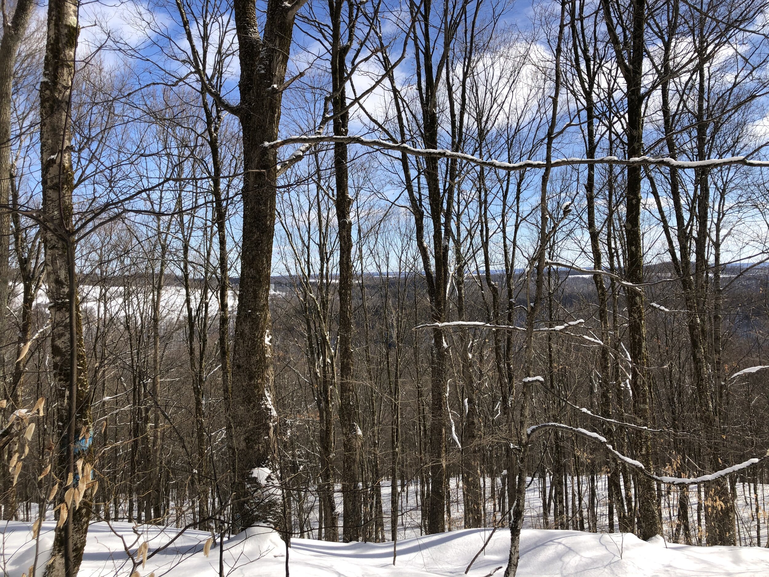
The FLT/NCT begins a short descent to the top of the ridge, then starts a level walk along the ridge line. At 1.7 miles, you will pass a trail register. It is important to sign in at these registers so that the Finger Lakes Trail Conference can see that this section of trail is actually being used, thus resulting in better trail maintenance. As the trail follows the ridge line, there are several nice views when the trees are bare, pictured below.

At 2.9 miles, a path on the left leads to the Hilltop Pond campsite, a nice spot for an overnight trip. Shortly after, the FLT merges with the dirt Cortland Two Road. To complete the loop, turn left onto the road instead of following the white FLT blazes, which direct hikers downhill toward the Taylor Valley day-use area.
Continue to follow the road until the first junction with the FLT is reached at 5.1 miles. Although this is a road, it is still rugged enough to keep the wilderness-like feel of Taylor Valley State Forest. When you reach the junction, turn right on the FLT and follow it for 0.7 miles until the Telephone Road trailhead. Total distance for this hike: 5.8 miles with 560 feet of elevation gain.
