Lindsay-Parsons Biodiversity Preserve
With its scenic valley location, beaver ponds, and wooded hills, Lindsay-Parsons is really an underrated gem. There are trails for all experience levels, each one offering unique features. It’s worth the extra few miles past Treman, Buttermilk Falls, and other popular spots.
Map of the (recommended) Lindsay-Parsons loop
Link to step-by-step RunGo directions, which can be used in real-time on the trail with the RunGo app. You can also navigate with the AllTrails map.
The parking area for this loop trail is located on Route 34/96, about 10 miles south of Ithaca. The GPS coordinates are 42.30923, -76.52199.
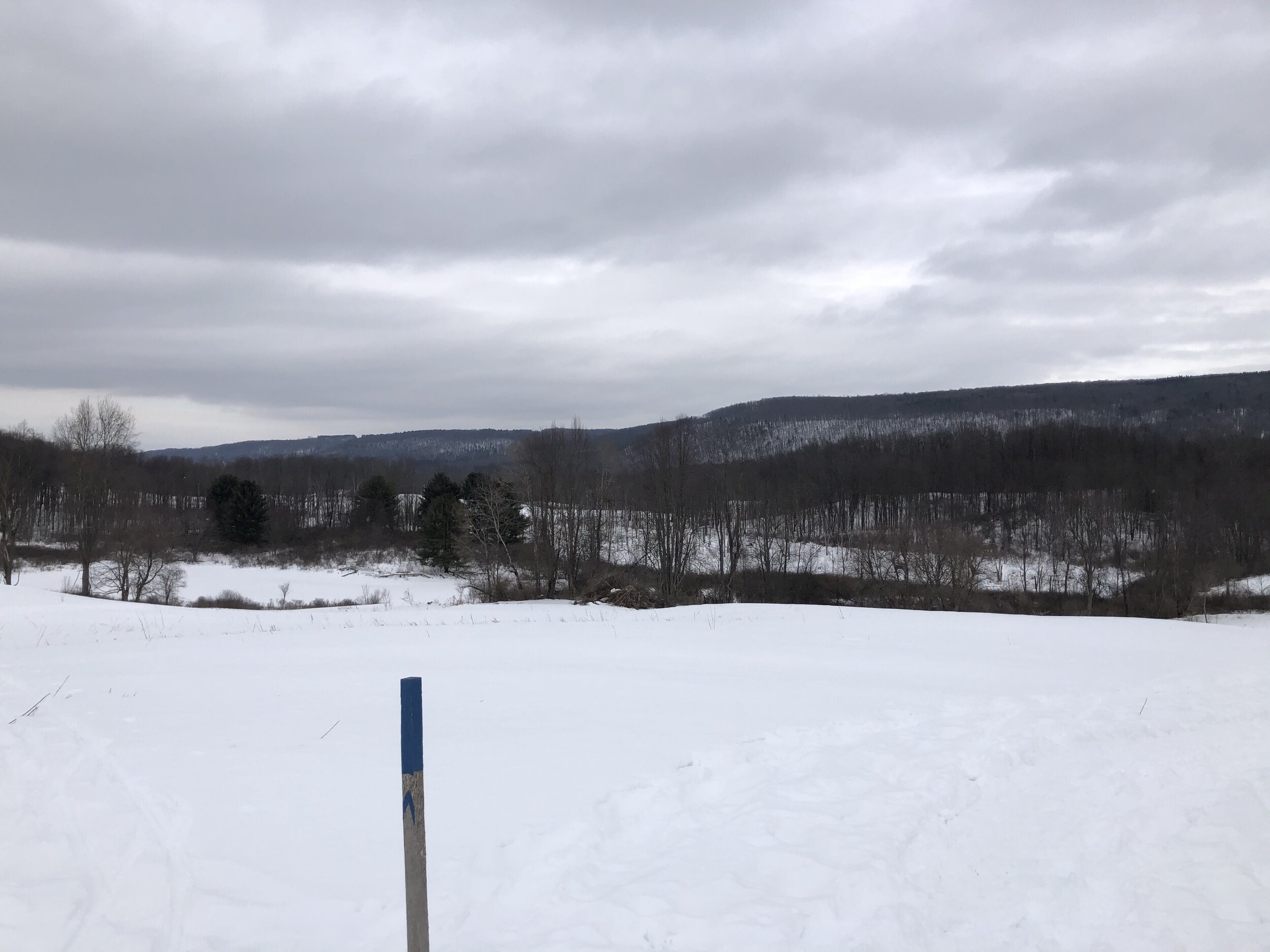
From the large parking area (1000’), follow the blue-blazed trail down into the woods. You will pass a kiosk with a map of the preserve. At 0.1 miles, you will emerge into the preserve’s main field area. Turn right and continue to follow the blue blazes. There are spectacular views to the east.
At 0.5 miles, you will arrive in a small clearing with the red and yellow trails (950’). Turn right and follow the yellow blazes. You will leave the field and enter a forest. At 0.6 miles, turn right and follow the orange-blazed trail down the hill.
At the bottom of the hill, you will cross some (active) railroad tracks. The trail climbs up a hill on the other side before reaching a junction with the purple-blazed trail. Turn right and follow the purple blazes. Alternatively, you can continue to follow the orange trail for a slightly shorter loop.
At 1.3 miles, you will come to the junction with the orange trail again (1045’). Turn right (straight) and follow the orange blazes. You will meander through a beautiful deciduous forest next to a steep hillside.

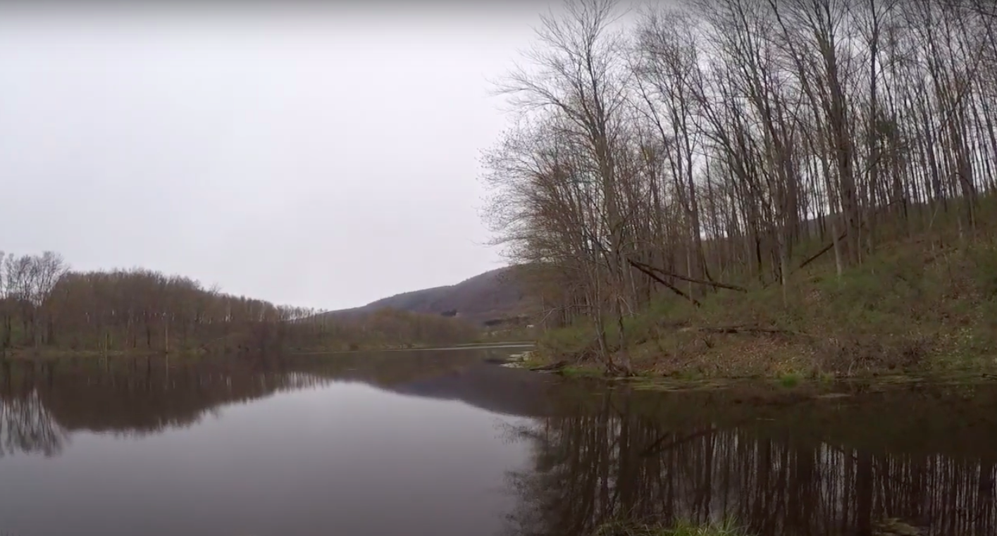
After going through that forest, you will descend to the railroad tracks once again at 1.8 miles (900’). You will ascend somewhat steeply and the orange trail parallels the tracks on the right side. At 2.1 miles, turn right onto the yellow-blazed trail. You will soon pass an interesting beaver dam on the left.
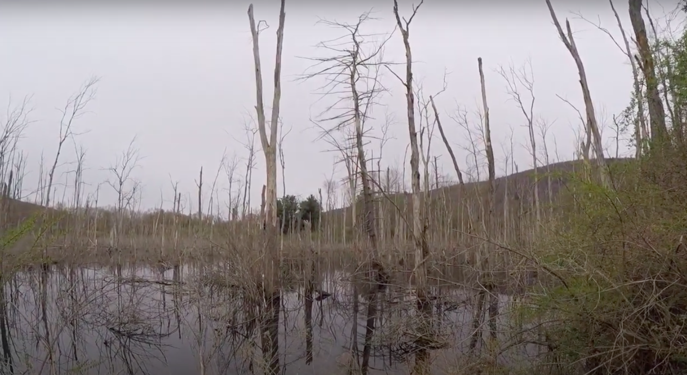
The trail will occasionally leave the preserve and go through a section of private property due to the beaver dam. Do not leave the trail until it re-enters the preserve. At 2.6 miles, the red-blazed trail will emerge from the right (940’). Turn right and follow the red blazes. Route 34/96 will be on the right and you will have a nice view of the steep hills of Danby State Forest on the left.

At 3.0 miles, you will come back to the blue-blazed trail at the beginning of the loop. Turn right and follow the blue blazes back to the parking area. Total distance for this loop is 3.1 miles with 320 feet of elevation gain.