This section of the FLT/NCT is wild, rugged, and scenic, climbing up through a wooded gorge and offering a long view at the top of the hill for those who make the climb. It’s also an accessible hike, not far from Cortland and I-81. Hoxie Gorge State Forest in its entirety is much larger than the area covered by this hike, but this route offers the most scenery.
Map of the FLT out-and-back in Hoxie Gorge
The trailhead for this hike is located at the SUNY Cortland parking area on Hoxie Gorge Road, about 3/4 mile from the intersection with US Route 11. There is room for 3-4 cars and the trailhead is marked with a kiosk. The GPS coordinates are 42.54779, -76.07864.

From the trailhead (1355’), there are multiple trails that all eventually lead to the same spot. The most direct way is to follow the McDermott Nature Trail directly from the parking area. You can also choose to briefly walk the road downhill (west) until the blue-blazed Spur Trail, also marked with a kiosk. This approach is only slightly longer and offers nicer scenery of the gorge. In either case, the blue-blazed trail will merge with the Nature Trail. From here, follow the blue blazes, which will eventually break from the nature trail, heading downhill into the gorge.

Kiosk for the slightly longer blue-blazed route from the trailhead
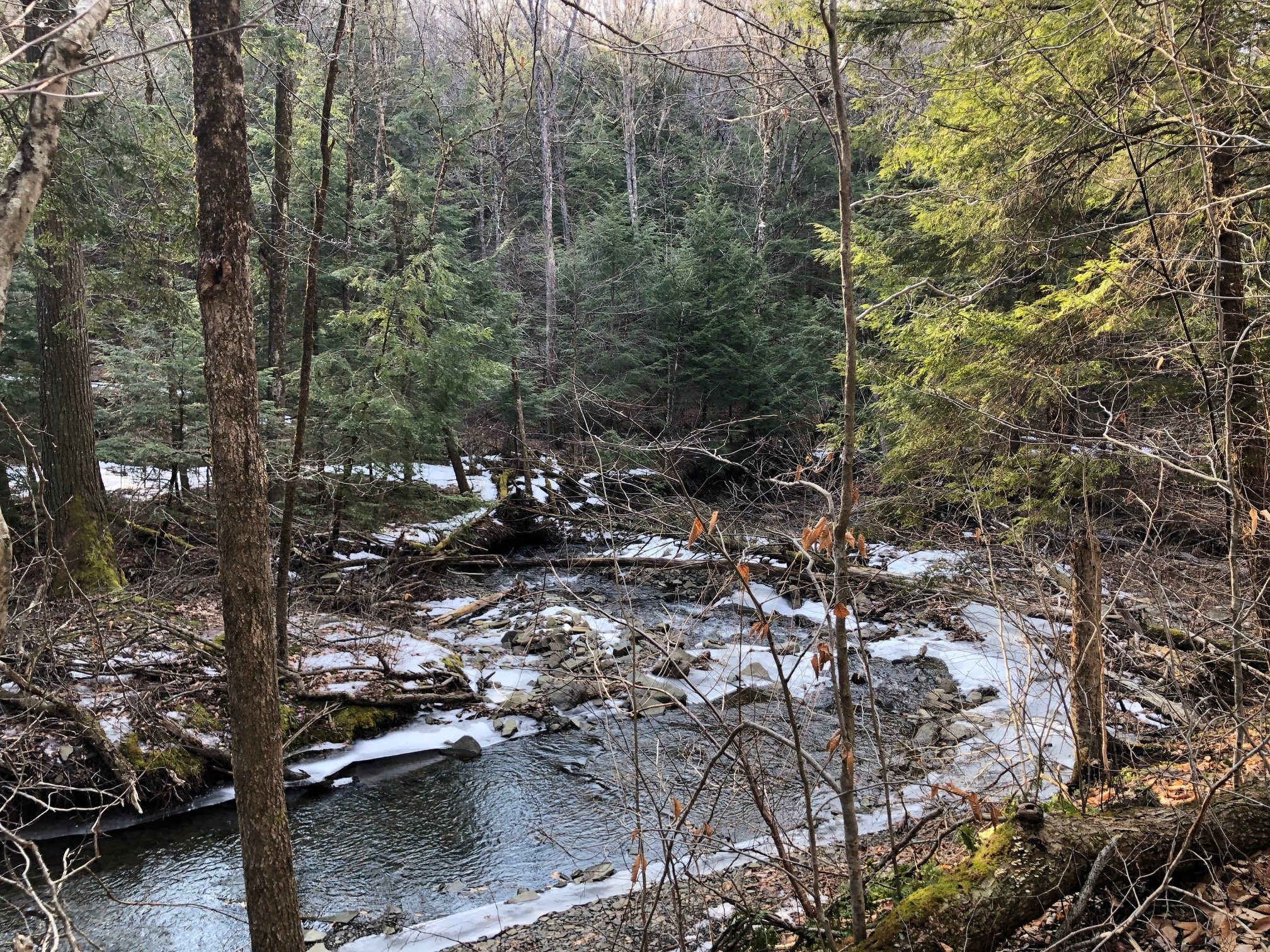
This next section of trail offers the best views of the gorge, so be sure to have your camera ready. After winding down into the gorge via switchbacks, the trail runs parallel to Hoxie Gorge Creek, allowing hikers a close-up view of its small rapids.


At 0.6 miles from the trailhead, the blue trail reaches a three-way intersection with the white-blazed Finger Lakes/North Country Trail. Here, turn left (east) and follow the white blazes. There is also signage and a triple blaze denoting the end of the blue trail. The FLT continues to parallel the creek, but eventually turns away, heading uphill and crossing a tributary. The trail passes through an early-successional stage forest before reaching another tributary, which it follows for a bit. Along the way, the trail passes the Hoxie Gorge Lean-To at 1.5 miles (1450’).


Hoxie Gorge Lean-To
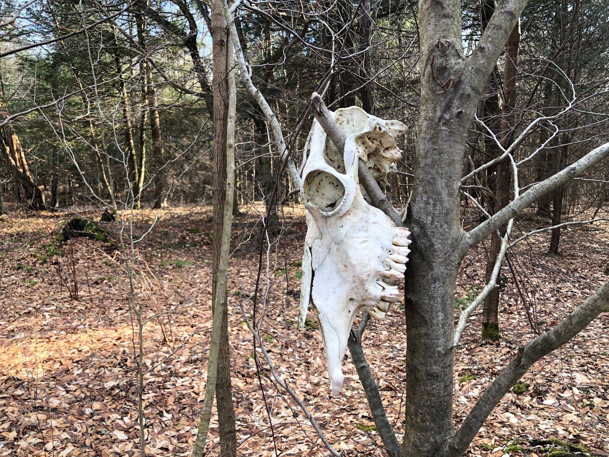
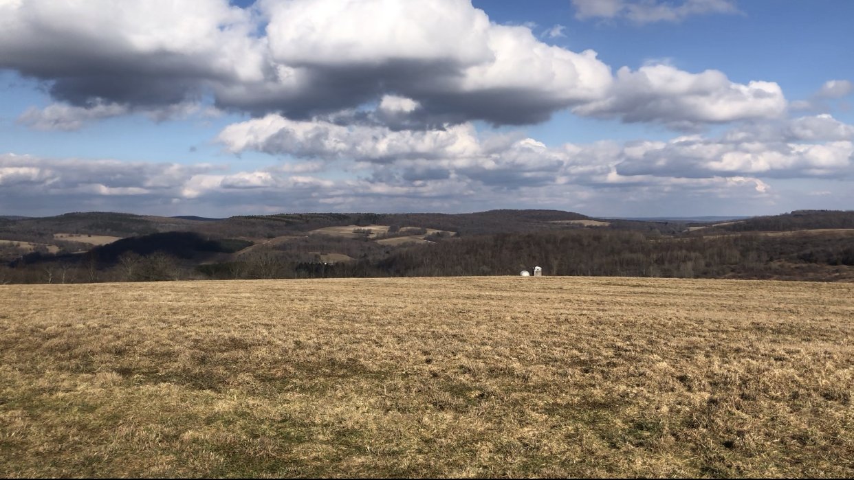
After passing the lean-to, the trail veers away from the tributary, beginning a gradual climb away from the gorge. It passes by some fields, and an oddly-placed animal skull in a tree (spooky!) before reaching an intersection with the orange-blazed bypass route at 2.3 miles. IMPORTANT: in order to continue beyond this point, you must not hike between the dates of October 1-December 31 to accommodate the hunting closure. The remainder of this hike is really just a bonus section, as proceeding left at the intersection, following the white-blazed FLT will reward you with a long view of the surrounding countryside at 2.5 miles (1800’). After enjoying the view, retrace your steps to the trailhead. Total distance for this hike is 5.0 miles with 1,065 feet of elevation gain.