
Finger Lakes Trail: Blackman Hill
This short, steep hike near Caroline will reward those who complete the climb with a 270-degree long view of the surrounding foothills. On a clear day, one can see all the way to the Western Catskills. The trail itself is beautiful as well, offering a plank bridge across a bog and a variety of different forest types.
Map of the Blackman Hill route
Here is a link to the AllTrails map, which can be used to navigate in real-time on the trail.
The trailhead for this hike is located at a pull-off parking area on NYS Route 79, approximately 13 miles east of Ithaca. This is also the parking area for the Cornell Botanic Gardens Tarr-Young Natural Area. The GPS coordinates are 42.37747, -76.28097.
IMPORTANT: Most of this hike is located on private property and has seasonal hunting closures for the following dates: May 1-31 and October 1-January 1. Please do not hike this section of the trail during those times.
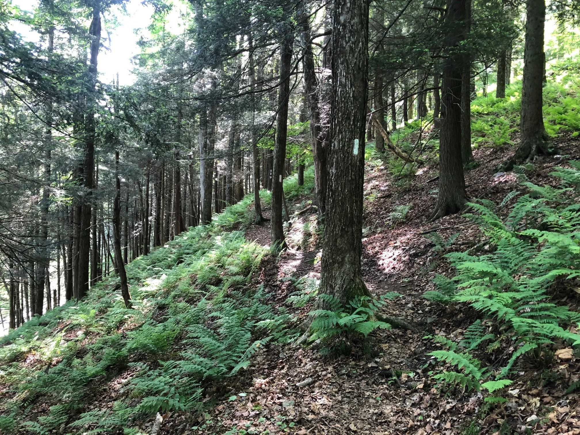
From the trailhead (1245’), locate the white-blazed Finger Lakes Trail/North Country Trail by the Cornell natural area kiosk (you have to walk east from the parking area to get here). Follow the trail down the hill and cross a wetland of the West Branch Owego Creek on a footbridge.

After the crossing, the trail runs parallel to the creek, hugging the steep hillside of Blackman Hill. This is a beautiful section of the route with ferns carpeting the ground and hemlocks towering above. The climb is gradual for the first 3/4 mile, but then steepens and leaves the creek to climb the hill. Most of the climb is on an old woods road so the footing is good throughout the ascent.
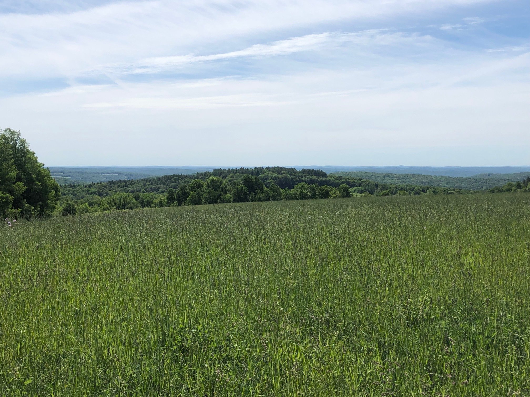
Along the climb, the trail crosses a few drainages and eventually flattens out, returning to a singletrack trail. The forest opens up as well, becoming more deciduous and less shaded. After meandering through this forest for a bit and passing by some old stone fences, the trail enters an open field, which is the “summit” area at 1.9 miles (1830’). You will first get a nice view to the west. The trail then runs along the edge of the field and reaches another, more expansive view to the south and east. There is a small bench to sit down and enjoy the view on.


From here, the trail continues 0.25 miles to Level Green Road, which is another access point should you desire a shorter hike. Assuming you hiked from Route 79, just turn around and retrace your steps down the hill. Total distance for this hike is 4.1 miles with 585 feet of elevation gain.