
Bob Cameron Loop
This peaceful stroll in the Connecticut Hill Wildlife Management Area features a small gorge, switchbacks, and pretty hemlock forests.
Map of the Bob Cameron Loop
Link to step-by-step RunGo directions, which can be used in real-time on the trail with the RunGo app. You can also navigate using the AllTrails map.
The trailhead for this hike is located on Tower Road, next to the Connecticut Hill Radio Tower. The main FLT crosses the road on both sides. The GPS coordinates are 42.38594, -76.66857.
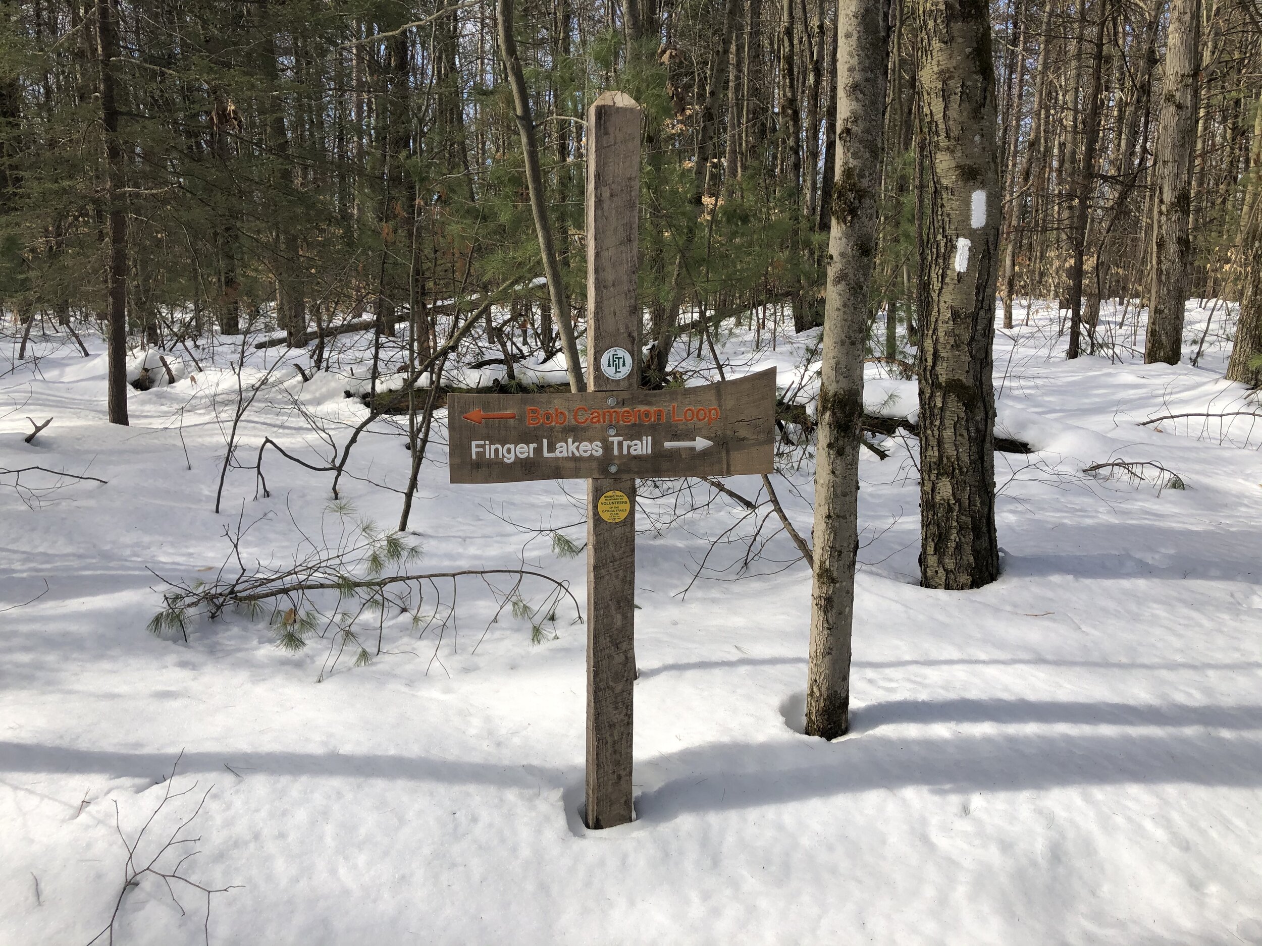
From Tower Road (2085’), head west on the white-blazed Finger Lakes Trail/North Country Trail. You will immediately see a sign denoting the start of the Bob Cameron Loop Trail. Turn left and follow the orange blazes.
After leaving the main FLT, the orange-blazed Bob Cameron Loop Trail begins a gradual descent through a mixed forest. At 0.3 miles, the actual loop begins. You can choose to either go left or right, but this guide will outline the hike going left (clockwise) at the fork. In either case, continue to follow the orange blazes.

The trail will level out for a bit before beginning a slightly steeper descent. At 0.8 miles, the trail crosses a small creek. After the crossing, it follows the creek downstream, with the descent being steep at times. At 1.2 miles, the trail crosses the creek again (1665’) and ascends away from the gorge.
Heading northbound, the trail levels out once again and travels through a deciduous forest. Eventually, it will approach a steep hillside. At 1.8 miles, you will climb up this hill on switchbacks, gaining most of the elevation lost from traveling down the gorge.

After the switchbacks are climbed, the trail heads east, gradually ascending towards the top of Connecticut Hill. At 2.5 miles, you will reach the end of the loop section of this hike. Turn left and follow the orange blazes uphill, back to the white-blazed Finger Lakes Trail. Then, turn right and follow it to the Tower Road trailhead. Total distance for this hike is 2.8 miles with 465 feet of elevation gain.