Van Lone Hill Loop
Hiking in Schuyler County - Connecticut Hill Wildlife Management Area
This classic loop on the Finger Lakes Trail System defines the terrain of Central New York. The loop follows Cayuta Creek through a gulf, winds up and around a scenic gorge, and ascends a wooded hillside. This is a loop that can get you hooked into hiking in Central New York, just as Cascade Mountain drives people to climb the 46 high peaks in the Adirondacks.
Map of the Van Lone Hill Loop
You can navigate on this map using the downloadable AllTrails map.
The trailhead for this hike is located on Gulf Road, just off of County Road 6, where there is pull-off parking for a few vehicles. The GPS coordinates are 42.34941, -76.73712.
From the trailhead (1325’), follow the white blazes of the Finger Lakes/North Country Trail as it descends to meet Cayuta Creek. The first 1.5 miles of this loop follows the creek on a level, wide path. This section of the trail is great for those who aren’t able to hike the steeper, more technical sections. After a long walk besides the creek, the trail crosses an old wooden bridge before turning away from the creek.
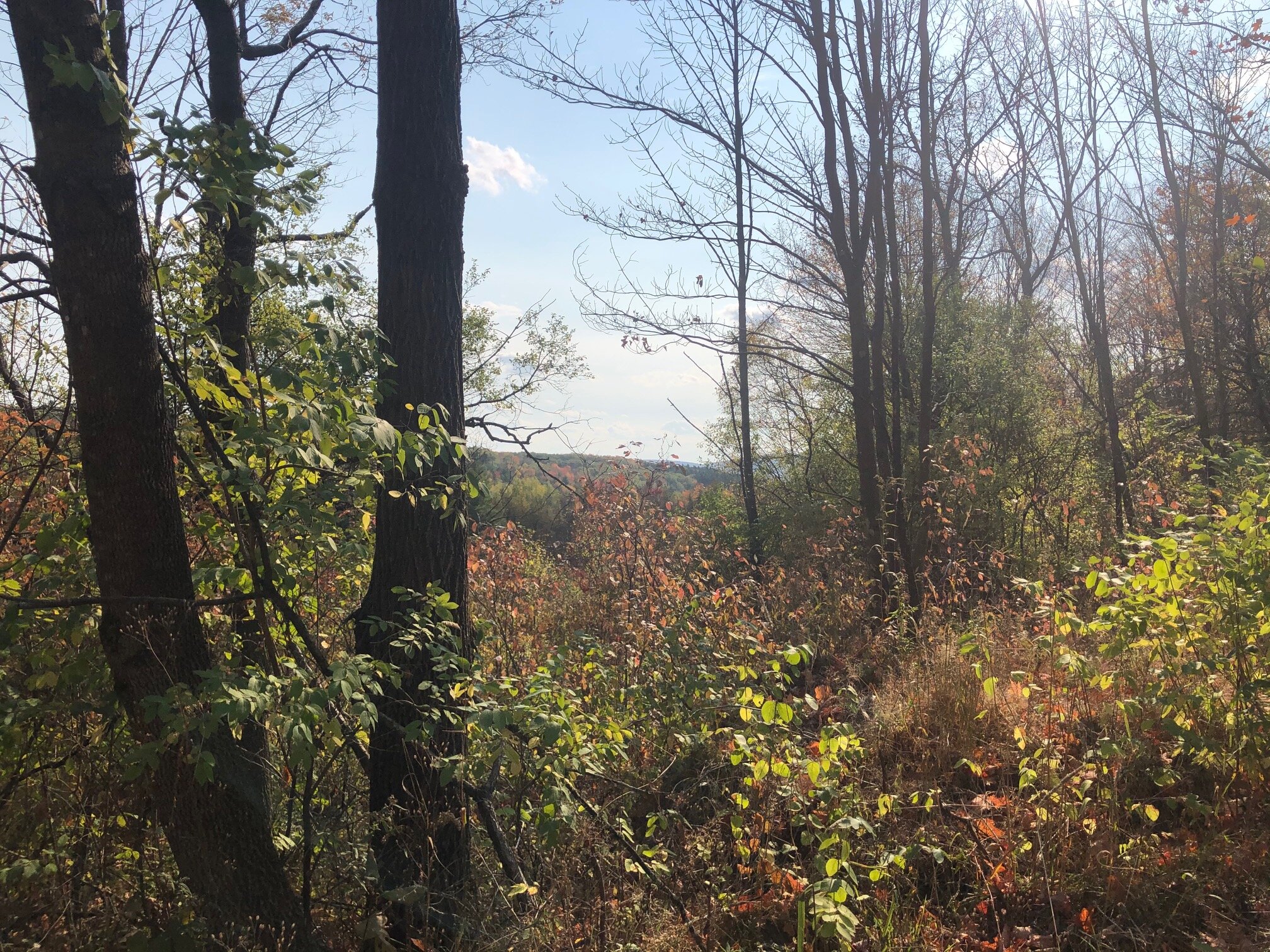
The FLT/NCT ascends somewhat steeply at first on an old jeep trail, but then leaves the trail and levels out at 1.8 miles (1470’). It passes through a pine forest after leaving the jeep trail.

At 2.1 miles, the trail parallels a small gorge, heading upstream. There are a number of campsites along this section of the trail for overnight trips. It continues to follow the gorge for 0.5 miles before ascending steeply away from the gorge. At 3.0 miles, the FLT/NCT arrives at a junction with the orange-blazed Van Lone Hill Trail (1645’). There is a trail register at this junction. Turn left and follow the orange blazes.
The next 0.5 miles are a bit hard to follow and requires trail users to keep an eye out for the blazes. The trail winds downhill, eventually ending up at the gorge again where there are a couple more campsites. At 3.5 miles, the trail arrives at an intersection with dirt Todd Road. If you aren’t sure where to go, you could alternatively backtrack to the main FLT and follow it east for 0.1 miles to Todd Road. Turn left on the road and the trail eventually merges with the road just before a bridge crossing.
From the intersection with Todd Road and the orange-blazed trail, turn left and cross the bridge on the road. Head uphill until another dirt road appears on the left, with the orange blazes marking the turn. Turn left and follow the road west.
This section is mostly level and nice views are occasionally seen through clearings on the side of the road. At 4.2 miles, the road veers left and the trail continues straight past a gate. Continue straight and follow the orange blazes.

The trail descends quickly to a stream crossing and then begins a steady ascent to the highest point on the loop, Van Lone Hill, which is at 4.9 miles from the trailhead (1700’). The trail descends from here, eventually ending up at Gulf Road. Follow the road, which leads back to the trailhead parking 0.8 miles from the top of the hill. Total distance for this hike: 5.7 miles with 975 feet of elevation gain.